


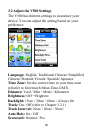
26
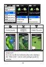
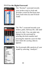
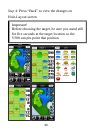
Press Icon Off/On to turn hazard icons on or
off in the color layout / satellite imagery.
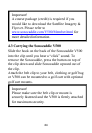
Press Edit to change the course information in
your “My Course” with adding or deleting
some of the reference points as the course may
change over time. (Please refer to Chapter 6.)
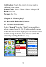
Press Color Layout to exchange the screen
from satellite imagery to color layout.
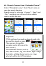
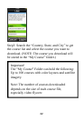
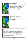
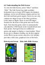
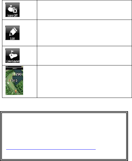
Touch Point Positioning
Touch any point on the color layout / high
resolution satellite imagery of the hole to see
the distance from you to that point- and from
that point to the green.
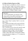
Important!
1. To use “Mark”, you must have satellite reception.
2. A course package must be purchased to view the
Satellite Imagery and Flyover. Please refer to
www.sonocaddie.com/V500/Member.html
for more
detailed information.