GPSMAP 640 Owner’s Manual 49
Marine Mode: Using XM WX Weather and Audio
Understanding Hurricane Information
The Hurricanes feature shows the current position of a hurricane,
tropical storm, or tropical depression, as well as a projected path
(indicated by a red line). The darkened dots that appear along
the red line indicate the projected locations received from the
National Hurricane Center. The center provides four forecasts at
12-hour intervals (12, 24, 36, and 48 hours), as well as the current
conditions (now).
Hurricane
Understanding Marine Warnings
When a Marine Warning is issued, the area for the warning is
highlighted in red. To view information about the warning, touch
the warning area. The light blue lines on the chart indicate marine
weather warning zones.
Understanding County Warnings
When the National Weather Service issues a weather warning for
a county, the county is highlighted with the color corresponding
to the warning. To view information about the warning, touch the
county.
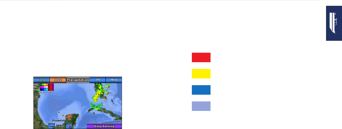
Tornado warning (red)
Severe thunderstorm warning (yellow)
Flood warning (dark blue)
Flash ood warning (light blue)
Viewing Forecast Information
Forecasts show the weather conditions, including fronts and
precipitation. To view the forecast for another time period, touch
Next Forecast. The forecasted weather for the next 12 hours is
shown. Continue to touch Next Forecast to view forecasts for the
next 24, 36, and 48 hours. To view forecast information for another
location, touch and drag the screen until the desired location
appears.